

Geological applications
Co-PI: Dr. Saleem Ullah
Assistant Professor, Institute of Space Technology, Islamabad, Pakistan
Dr. Muhammad Hanif
Associate Professor, National Centre of Excellence in Geology, University of Peshawar.
Dr. Liaqat Ali
Associate Professor, National Centre of Excellence in Geology, University of Peshawar.
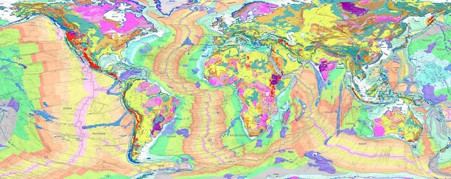
The field of geology offers a great number of commodities and services to mankind since ancient times and with the advent and continued advancement of technology new avenues are opening for further exploration and exploitation of geological resources and services. The hydrocarbon sector being a significant contributor to the energy mix of the world is serving as a bloodline in the uplift of the world economies. Mineral sector supply raw materials to all the major industries like agriculture, pharmaceutical and construction. Geological maps provide the baseline information for the exploration and exploitation of geological resources. The outcomes of this domain will be three folds too, including; comprehensive and more precise geological maps, GIS based mineral information systems for a variety of minerals and relative tectonic activity maps.
Proposed Specific Objectives
The objectives of this domain are broadly three folds,
- Integrated use of remote sensing images, topographic information, drainage network and spectral analysis to delineate different lithological units at a regional scale.
- Identification of potential mineral zones using space and airborne hyperspectral remote sensing; and spectral analysis followed by geochemical characterization.
- Remote sensing based lineament analysis for geological structure mapping as well as mapping of the geomorphological indices for delineating relative tectonic activity zones.