


Forest Resource Assessment
Co-PI Responsible: Dr. Sami Ullah
Head of Department (Department of Forestry, Shaheed Benazir Bhutto University, Sheringal,
Dir Upper, Pakistan)
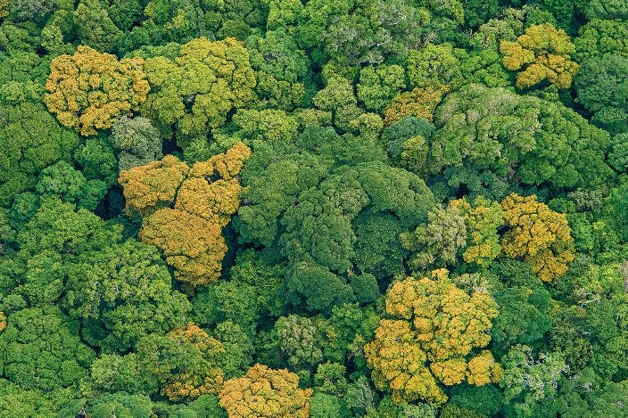
Pakistan has enormous coniferous virgin forest on the border between Afghanistan, India, etc. and we do not have accurate information about that woody forest as well. There exists controversy between the national and international organizations about the forest cover due to a lack of knowledge and valid information about the forest cover. Hence, precise, and updated knowledge about forest resources in Pakistan is fundamental for the protection and conservation of forest resources. Unfortunately, in Pakistan, we are still using the same historical old concept of a field-based monitoring system for the forest inventory which is highly time-consuming, resource-intensive, and even not possible to cover large and remote geographical forest areas. Our forest community is not aware of the modern usage of remote sensing applications in forestry. In the proposed lab, we have the plan to test and develop remote sensing-based methods for small research areas concerning regular planning and monitoring of forest resources. The developed methods will further be utilized by the local and provincial forest departments in the context of large areas of forest application.
Proposed Specific Objectives
The following are the proposed objectives for this project.
- Testing and development of satellite remote sensing-based methods for the assessment, mapping, and change detection of valuable forest resources.
- Development of methods and techniques for the assessment, and monitoring of afforestation projects.
- Small area forest canopy height models generation from ALS LiDAR, Stereo Aerial Photographs, and Stereo high-resolution satellite images.
- Testing the potential of Unmanned Aerial Vehicles drones for small areas forest application.
- Generation of open-source Python/R codes for single trees detection, forest classification, change detection etc.
- Forest Canopy gaps dynamic, forest density, forest site quality assessment etc.
- Forest timber volume, biomass, and carbon stock mapping using remote sensing
- The potential of active space-borne open-source sensor like TanDEM-X, and GLAS ICET would also be tested across the country for forestry applications.