

Geohazards
Associate Professor, National Centre of Excellence in Geology, University of Peshawar, Peshawar
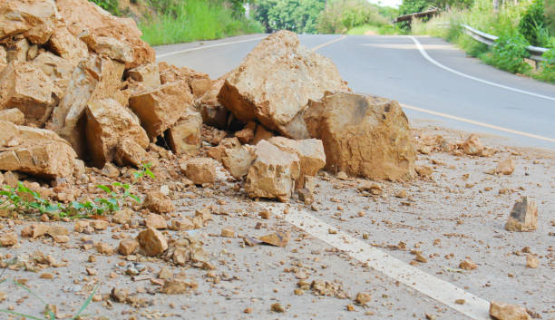
Geohazards including landslides and earthquakes are frequently occurring hazards in northern Pakistan with devastating impacts on human lives and the national economy. The communication networks including highways, motorways and China-Pakistan Economic 56 Corridor (CPEC) is affected and still prone to disruption due to frequent landsliding in the mountainous regions of Pakistan. Geohazards induced damages are increasing, due to expanding urbanization, infrastructure development and other anthropogenic activities on unstable slopes, deforestation and indicators of climate change. Therefore, it is of significant importance to developed and implement effective and efficient geohazard mitigation strategies. In the geohazard application domain of G-SAG lab, the landslide inventory, susceptibility and risk assessment maps and seismic microzonation assessments and maps will be prepared for the most prone areas using remote sensing data, historical records and instrument-based ground data.
Proposed Specific Objectives
The followings are the specific objectives of the Geohazard application domain of the G-SAG:
- To develop landslides inventories, susceptibility, hazard, vulnerability assessment and risk evaluation of the landslides using remote sensing and field data.
- To understand the triggering mechanism of landslides using geoscientific parameters and extended monitoring of the selected active landslides.
- To develop seismic microzonation maps due to local soil, geology, topography using remote sensing data, GIS techniques and field measurements.
- To enhance the capacity of professionals, scientists and researchers in landslides assessment and management, using remote sensing data, GIS techniques and instruments based techniques.