GIS & Space Applications in Geosciences (G-SAG) Lab
National Centre of Excellence in Geology, University of Peshawar.
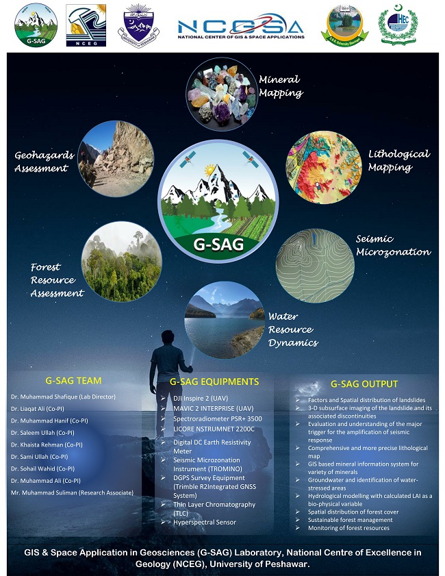
Remote sensing and GIS are becoming effective and efficient tools in the exploration, monitoring, and management of natural resources. Growing remote sensing data with enhanced capabilities and GIS techniques provides opportunities for its utilization in various fields of geosciences including minerals and geo-structural mapping, geo-hazards assessment and mitigation, assessment and management of water and forest resources. GIS & Space Applications in Geosciences (G-SAG) Lab, recently established at the National Centre of Excellence in Geology, University of Peshawar with partnership of Shaheed Benazir Bhutto University, Sheringal. The GSAG is an affiliated lab of National Center of GIS and Space Applications (NCGSA), Institute of Space Technology, Islamabad with approved project cost of 95.6 M. This Lab aims to apply and promote the geo-information applications in geosciences related futuristic areas that are of strategic national importance, economic benefit and for the creation of knowledge economy and scientific leadership.
Application Domains
The field of geosciences has established and have penetrated directly or indirectly almost in every application domain related to science and engineering. Knowledge and research in geosciences are pivotal for mitigating the impacts of natural hazards, understanding the distribution and characterization of mineral resources, exploration and exploitation of hydrocarbon resources, monitoring and characterization of water and forest resources. Considering the national needs, the following application domains are selected for the G-SAG lab.- Geohazards
- Geological applications
- Water resource dynamics
- Forest resource assessment