

“Remote Sensing & GIS Applications in Geosciences”
Organized by
GIS and Space Applications in Geosciences (G-SAG) Laboratory, NCE in Geology, University of Peshawar & Centre of Space and Earth Science, University of Swat.
Hosted by
Centre of Space and Earth Science, University of Swat.
Date
9th June, 2022
Chief Guest:
Prof. Dr. Hassan Sher
Resource persons:Dr. Muhammad Shafique and Dr. Muhammad Hanif.
Summary: This seminar was conducted in Centre of Space and Earth Science, University of Swat for the awareness of the students about how Remote Sensing and GIS Applications can be used in Geosciences. Students were told about how GIS and Remote Sensing are becoming effective and efficient tools in the exploration, monitoring and mapping of geology. They were Guided how to study geological structures using GIS and remote sensing. Uses of GIS and Remote Sensing was one of the main points of the seminar. The resource persons gave lectures regarding the topic of the seminar. Furthermore, students were told about the GIS and Space Applications in Geosciences (G-SAG) Laboratory. The theme of G-SAG was briefly discussed. The lectures included the main aims of GIS and Remote Sensing in the fields of geo-hazard, geological applications, forests and water resources. Figures below are showing some glimpses of the event.
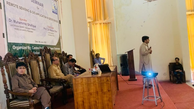 |
Figure 1: Dr. Muhammad Shafique lecture during the seminar |
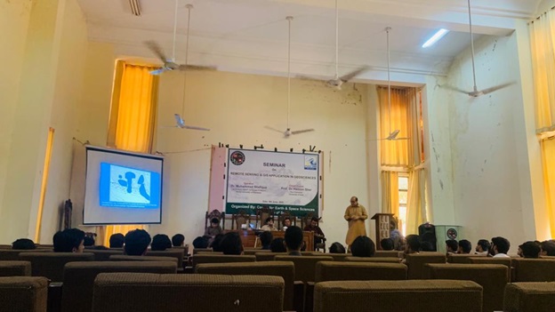 |
Figure 2: Dr. Muhammad Hanif lecture during the seminar |
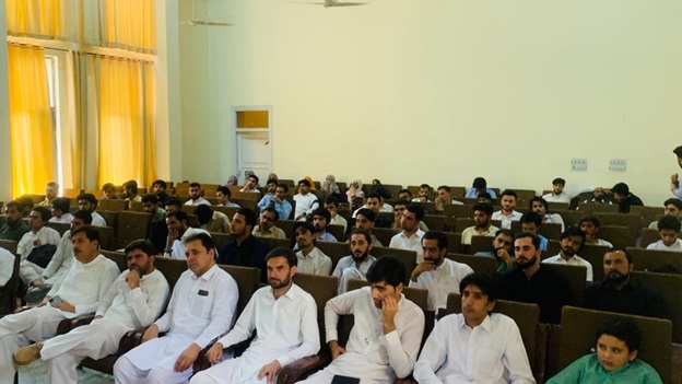 |
Figure 3: Audience of the seminar receiving the lectures attentively |
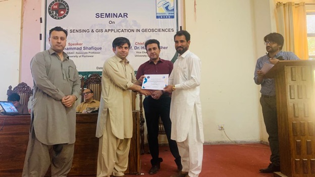 |
Figure 4: Certificate distribution among the participants of the seminar |
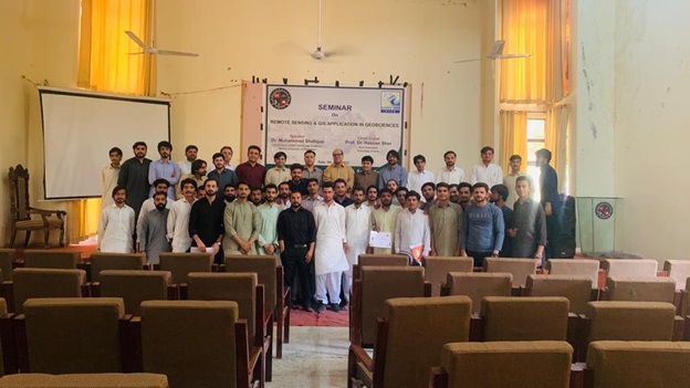 |
Figure 5: Group photo of the seminar participants |