

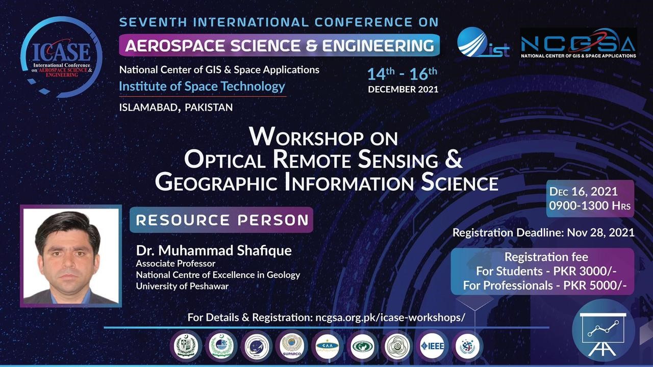
Report of the G-SAG Training workshop during the international conference entitled ‘International Conferenceon Aerospace Science and Engineering (ICASE)
Optical Remote sensing and Geographic information system 14-16 2021
A training workshop was organized from 14-16 December 2021 with the title “Optical Remote sensing and Geographic information system” (Brochure in Figure 1) by the GIS and Space Applications in Geosciences (GSAG), National Centre of Excellence in Geology, University of Peshawar. The workshop was organized at the Institute of Space Sciences (IST), Islamabad. The workshop was attended by around 35 participants including professionals and students from different organizations and universities respectively. Dr. Muhammad Shafique was the resources person of the workshop and Benazeer Iqbal has done practical exercises like data loading, georeferencing, and digitization, etc.
The main theme of that workshop was to develop command on how optical remote sensing acquires the data through different satellites and load and interpret the spatial data in GIS. Difference between Vector and Raster data. Practical exercises have been done successfully, a manual was provided to participants for practical exercise and followed that manual by participants accordingly. The time duration for the presentation was set 3 hours and 2 hours for practical exercise. The workshop lecture and hand-on exercise were well received by the participants with lively discussion and sharing of knowledge and experiences. Some of the photos of the workshop. Brochure and Pictures that were taken during the presentation are given below:
Organizing committee
Dr. Muhammad Shafique
(Associate Professor, NCEG, University of Peshawar)
Institute of Space Technology (IST)
Resource persons
Dr. Muhammad Shafique (NCEG, University of Peshawar)
Miss. Benazeer Iqbal (Ph.D scholor in GSAG-Lab, NCEG, University of Peshawar)
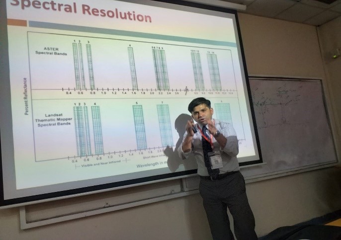
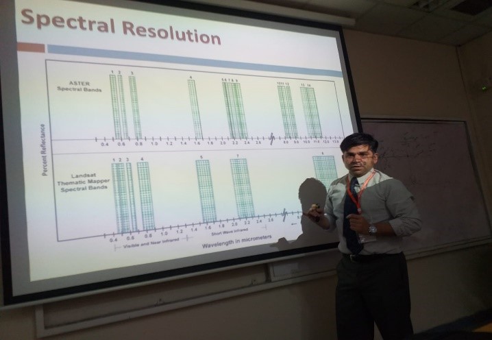
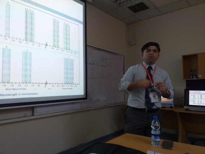
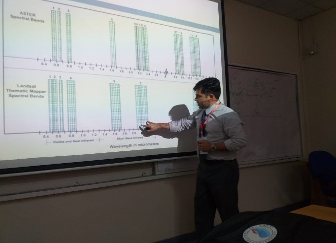
Pictures were taken during the Presentation