Summary Report on “Introduction to GIS and RS Applications in Geosciences”
Overview
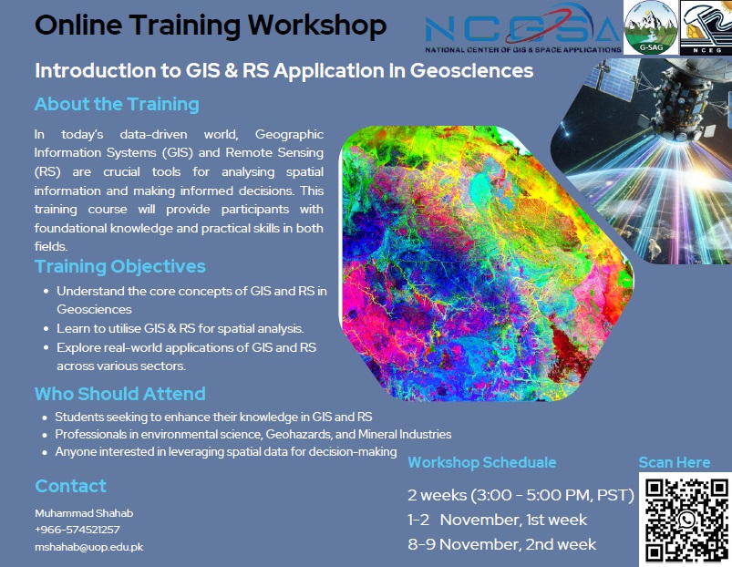
The two-week online training workshop on “Introduction to GIS and RS Applications in Geosciences” was held to provide participants with foundational knowledge and practical insights into Geographic Information Systems (GIS) and Remote Sensing (RS) applications across various geoscience fields. With the increasing importance of spatial data and analysis for environmental monitoring, resource exploration, and geohazards assessment, this workshop aimed to equip attendees with theoretical knowledge and applied skills relevant to current global practices. Hosted by experts from prestigious institutions worldwide, the event was structured to bridge theory with practice, addressing the dynamic challenges in geosciences through the integration of GIS and RS.
Workshop Objectives
The primary goals of the workshop were to:
- Introduce participants to the basics of GIS and RS, their scope, and their significance in geosciences.
- Provide training on specialized tools and methods, including Virtual Outcrop Modelling, machine learning for hazard assessment, and remote sensing for mineral exploration.
- Explore the integration of GIS and RS in diverse applications such as environmental monitoring, geohazard management, geo-heritage conservation and Mineral Mapping.
- Facilitate networking and knowledge exchange among participants and leading researchers.
Program Structure
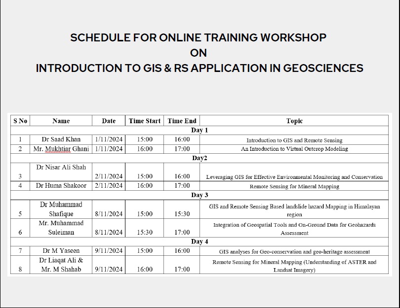
The workshop was run for two weeks, with 2 days and 4 sessions in one week, covering both introductory and advanced topics. Each session was led by an expert, allowing participants to gain in-depth knowledge from industry and academic professionals. Sessions included lectures, interactive Q&A, and live demonstrations.
Workshop Outcomes
The workshop achieved significant outcomes, empowering participants with a deeper understanding of GIS and RS applications in geosciences. Key takeaways included:
- Enhanced familiarity with foundational and advanced geospatial techniques.
- Practical insights into geohazard assessment, mineral exploration, environmental conservation, and heritage management.
- Development of data-handling skills for complex terrain analysis using GIS and machine learning.
Additionally, the interactive sessions encouraged networking and collaboration among participants, fostering a global knowledge-sharing environment.
Acknowledgments
We extend our gratitude to all resource persons for their time and expertise, and to the participating institutions for their support. Special thanks to King Saud University for facilitating the event's outreach, and to all attendees for their enthusiastic participation.