

Ongoing Projects |
Latest Research |
|
Vulnerability Assessment of Swat, Dir and Chitral with respect to Earthquakes of Pamir-Hindu Kush Region
Principle investigator: Principle investigator: Principle investigator: Principle investigator: Principle investigator: Principle investigator: Principle investigator: Co Principle investigator: Dr Shah Rukh Principle investigator: Dr Said Muhammad (NCEG) |
Rafi, M., Aktas, Y.D., Smars, P. et al., Burton, P., Rehman, K., Zwak, Q Madlazim, Baba Musta, Aris Doyan, Adi Susilo, Khaista Rehman Razaq, M., Ali, A., Rehman, K., Hussain, M., & Amin, Y Azeem Khan, Khaista Rehman, Asghar Ali Azeem Khan, Khaista Rehman, Asghar Ali Huma Shakoor, Fahad Alshehri, Muhammad Shahab, Faris A. Abanumay, Liaqat Ali Butt, N. A., Khan, M. Y., Khattak, S. A., Jeffery, A. J., & Pringle, J. K. (2025) Muhammad Shahab, Liaqat Ali Tariq, M., Rashid, A., Khattak, S.A. et al Amjad, M. H., Mehmood, A., Abbas, Y., Rukh, S., Hussain, M., Hassan, A., Tariq, M., Ahmad, Z., Yun, S. (2025). Ahmad, G., Shams, D. F., Khattak, S. A., Khan, W., & Nadhman, A. (2024) Tanveer Ahmed, Khaista Rehman, Muhammad Iqbal Hajana, Sajjad Ahmed, Syed Haroon Ali and Qamar Yasin Abid Sarwar & Muhammad Ali, (2024) Jabir Nazir, Muhammad Ali, Abid Sarwar, Sarfraz Khan, Khaista Rehman, Beena Fahim & Benazeer Iqbal Rukh, S., Akhtar, M.S., Alshehri, F., Mehmood, A., Malik, K.M., Almadani, S., Khan, A., and Shahab, M. (2024) Abid Sarwar, Muhammad Ali, Muhammad Israr, Shazia Gulzar, Muhammad Ismail Khan, Muhammad Akmal Sardar Ali, Abdul Majid & Shah Rukh Iqbal, B., Ali, M., Fahim, B., Nazir, J., Rashid, A., Ayub, M., Gao, X., Khattak, S. A., Ali, L., Li, C., et al Khan, S. A., Rehman, A., Ali, M., Alshehri, F., Shahab, M., Ullah, S., (2024) Jehan, S., Khattak, S.A., Waqas, M. et al. Evaluation Health Risks and Sorption of Hexavalent Chromium (Cr(VI) by Biochar and Iron Doped Zinc Oxide Modified Biochar (Fe-ZnO@BC) Using Trifolium: A Green Synthesis Technique. Rashid, A., Ayub, M., Gao, X., Khattak, S. A., Ali, L., Li, C., et al. Hydrogeochemical characteristics, stable isotopes, positive matrix factorization, source apportionment, and health risk of high fluoride groundwater in semiarid region. Tanveer Ahmed, Khaista Rehman, Muhammad Shafique, Wajid Ali and Nisar Ali Shah Tanveer Ahmed, Khaista Rehman, Muhammad Shafique, Nisar Ali Shah & Muhammad Waqar Azeem Zahid Rahman, Khaista Rehman Tariq, Mohsin, Ayaz Mehmood, Yasir Abbas, Shah Rukh, Fayyaz Ali Shah, Ahmed Hassan, Ali Raza Gurmani, Zahoor Ahmed, and Sining Yun. Umair, Muhammad, Ayaz Mehmood, Shah Rukh, Ahmad Khan, Zahoor Ahmad, Mazhar Rafique, Kouser Majeed Malik, and Ali Raza Gurmani. 2023. Khaista Rehman, Wajid Ali, Muhammad Shafique, Aamir Ali, Adnan Barkat, Waqas Ahmed & Muhammad Waqar Azeem Abrar Niaz, Umair Bin Nisar, Sarfraz Khan, Rashida Faiz, Asim Javed, Jawad Niaz, Muhammad Aaqib, Mohsin Raza & Bikram Bhusal Shah Jehan,Seema A. Khattak,Sardar Khan,Liaqat Ali,Muhammad Waqas & Asad Kamran Umair Bin Nisar, Muhammad Farooq, Sarfraz Khan, Ramesh Raj Pant, Iftikhar A. Satti, Ali Wahid, Faizan ur Rehman Qaiser, Syed Amjad Ali Bukhari, and Furqan Mahmud Butt. Syed Ali Turab, Kurt Stüwe, Finlay M. Stuart, Nathan Cogne, David M. Chew, Jörg Robl Muhammad Bilal Adeel, Zubair Ahmed Nizamani, Muhammad Aaqib, Sarfraz Khan, Jawad Ur Rehman, Bikram Bhusal & Duhee Park
|
Director's Message
 |
|
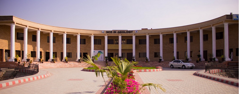
The National Centre of Excellence in Geology (NCEG) is one of the prestigious institutions of Earth Sciences in the country. It has the state-of-the-art laboratories where cutting edge research in regards to |
|
News Updates
- Two-day International workshop
On Arsenic and heavy metals in soil–food systems: pathways and impacts

- WALK-IN-INTERVIEW - Mali
- WALK-IN-INTERVIEW
- JHES Vol 59(1), 2026 Online
- WALK-IN-INTERVIEW
- 8th International Conference Earth Sciences Pakistan 2026
- IRH Abu Dhabi Visit to NCEG
- Book "Indus Water System"
- JHES Volume 58 (1), 2025
- RULES AND REGULATIONS FOR CONSULTANCY SERVICES
- List of Online Resources for Geoscientists/ Ecologists/ Enviornmentalists
- E-Courses offered by NCEG Faculty